Hildersham to Rivey Hill
Introduction
The photograph on this page of Hildersham to Rivey Hill by John Sutton as part of the Geograph project.
The Geograph project started in 2005 with the aim of publishing, organising and preserving representative images for every square kilometre of Great Britain, Ireland and the Isle of Man.

There are currently over 7.5m images from over 14,400 individuals and you can help contribute to the project by visiting https://www.geograph.org.uk
Hildersham to Rivey Hill
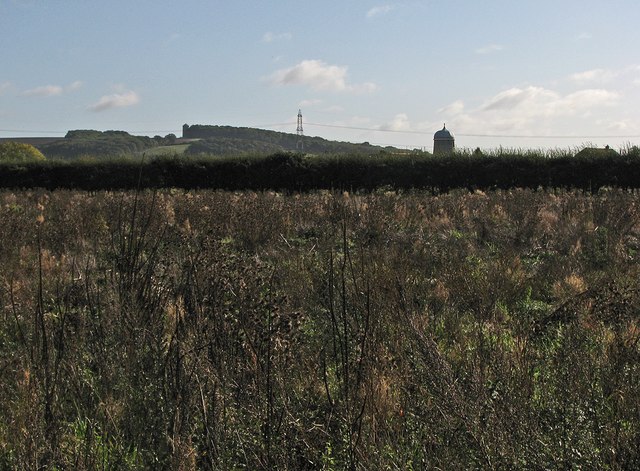
Image: © John Sutton Taken: 17 Oct 2013
A view east, against the light on a bright October morning, from near the junction with the A1307 south of the village. The old windmill is two fields away, Linton Water Tower and Rivey Wood on the skyline a mile and a half away.
Images are licensed for reuse under creativecommons.org/licenses/by-sa/2.0
Image Location


Leaflet Map data © OpenStreetMap
Latitude
52.108928
Longitude
0.254816