Towards Lower Trebrown
Introduction
The photograph on this page of Towards Lower Trebrown by Derek Harper as part of the Geograph project.
The Geograph project started in 2005 with the aim of publishing, organising and preserving representative images for every square kilometre of Great Britain, Ireland and the Isle of Man.

There are currently over 7.5m images from over 14,400 individuals and you can help contribute to the project by visiting https://www.geograph.org.uk
Towards Lower Trebrown
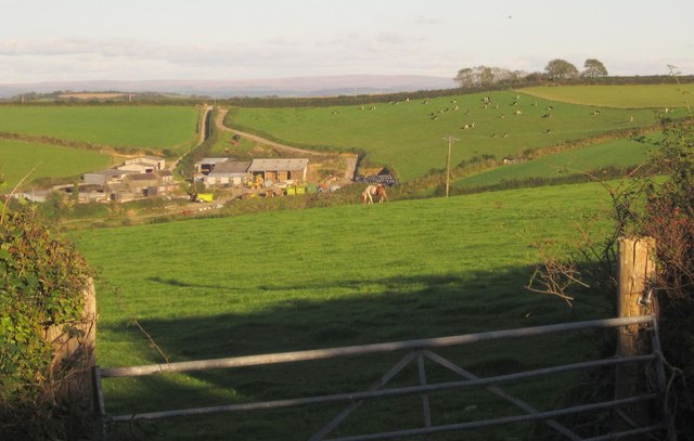
Image: © Derek Harper Taken: 10 Oct 2013
Looking over a gate beside the ridge road northwest from Blunts to Pounda. Dartmoor is visible in the distance.
Images are licensed for reuse under creativecommons.org/licenses/by-sa/2.0
Image Location
Latitude
50.446787
Longitude
-4.345048