Banstead Heath at Hogden Bottom
Introduction
The photograph on this page of Banstead Heath at Hogden Bottom by John Hilton as part of the Geograph project.
The Geograph project started in 2005 with the aim of publishing, organising and preserving representative images for every square kilometre of Great Britain, Ireland and the Isle of Man.

There are currently over 7.5m images from over 14,400 individuals and you can help contribute to the project by visiting https://www.geograph.org.uk
Banstead Heath at Hogden Bottom
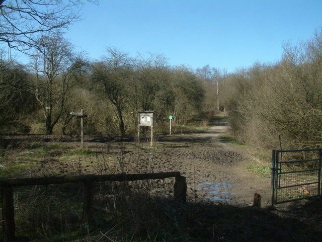
Image: © John Hilton Taken: 15 Mar 2007
This view shows the approach to Banstead Heath from the Chipstead Lane roundabout. The paths ahead lead to Tadworth and Walton On The Hill.
Images are licensed for reuse under creativecommons.org/licenses/by-sa/2.0
Image Location
Latitude
51.279741
Longitude
-0.219529