Clapper Bridge
Introduction
The photograph on this page of Clapper Bridge by Derek Harper as part of the Geograph project.
The Geograph project started in 2005 with the aim of publishing, organising and preserving representative images for every square kilometre of Great Britain, Ireland and the Isle of Man.

There are currently over 7.5m images from over 14,400 individuals and you can help contribute to the project by visiting https://www.geograph.org.uk
Clapper Bridge
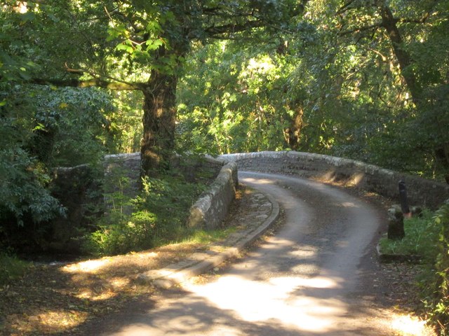
Image: © Derek Harper Taken: 10 Oct 2013
Another view of the bridge over the River Lynher shown in Image and Image , not actually a clapper bridge since the C16 http://list.english-heritage.org.uk/resultsingle.aspx?uid=1136855&searchtype=mapsearch .
Images are licensed for reuse under creativecommons.org/licenses/by-sa/2.0
Image Location


Leaflet Map data © OpenStreetMap
Latitude
50.463857
Longitude
-4.323629