Field and poultry farm
Introduction
The photograph on this page of Field and poultry farm by Jonathan Billinger as part of the Geograph project.
The Geograph project started in 2005 with the aim of publishing, organising and preserving representative images for every square kilometre of Great Britain, Ireland and the Isle of Man.

There are currently over 7.5m images from over 14,400 individuals and you can help contribute to the project by visiting https://www.geograph.org.uk
Field and poultry farm
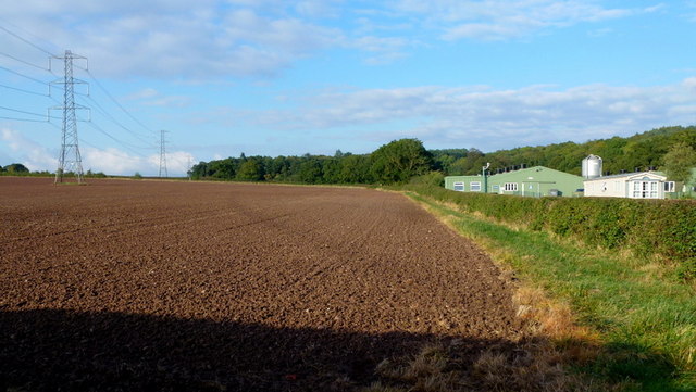
Image: © Jonathan Billinger Taken: 15 Oct 2013
View north from the A448 with Chaddesley Wood beyond.
Images are licensed for reuse under creativecommons.org/licenses/by-sa/2.0
Image Location


Leaflet Map data © OpenStreetMap
Latitude
52.352191
Longitude
-2.141633