Five Ash Road, Four Marks
Introduction
The photograph on this page of Five Ash Road, Four Marks by Graham Horn as part of the Geograph project.
The Geograph project started in 2005 with the aim of publishing, organising and preserving representative images for every square kilometre of Great Britain, Ireland and the Isle of Man.

There are currently over 7.5m images from over 14,400 individuals and you can help contribute to the project by visiting https://www.geograph.org.uk
Five Ash Road, Four Marks
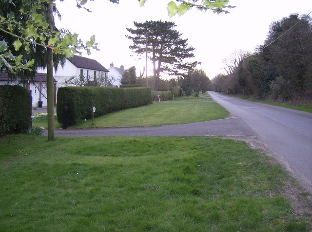
Image: © Graham Horn Taken: 18 Mar 2007
Sheltering from a hailstorm under a holly tree, although it does not look wet in this photo! Five Ash Road runs east-west along the top of the square, and consists of this wide grass verge with well-spaced and expensive houses on the south side only.
Images are licensed for reuse under creativecommons.org/licenses/by-sa/2.0
Image Location


Leaflet Map data © OpenStreetMap
Latitude
51.117841
Longitude
-1.053999