Public footpath alongside Nant Cwm-clais, Cwmavon
Introduction
The photograph on this page of Public footpath alongside Nant Cwm-clais, Cwmavon by Jaggery as part of the Geograph project.
The Geograph project started in 2005 with the aim of publishing, organising and preserving representative images for every square kilometre of Great Britain, Ireland and the Isle of Man.

There are currently over 7.5m images from over 14,400 individuals and you can help contribute to the project by visiting https://www.geograph.org.uk
Public footpath alongside Nant Cwm-clais, Cwmavon
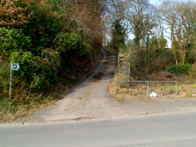
Image: © Jaggery Taken: 2 Mar 2012
The path heads away from the B4286. A stone wall separates the path on the left from the stream Nant Cwm-clais on the right.
Images are licensed for reuse under creativecommons.org/licenses/by-sa/2.0
Image Location
Latitude
51.612103
Longitude
-3.771136