Hogspudding Lane
Introduction
The photograph on this page of Hogspudding Lane by Stefan Czapski as part of the Geograph project.
The Geograph project started in 2005 with the aim of publishing, organising and preserving representative images for every square kilometre of Great Britain, Ireland and the Isle of Man.

There are currently over 7.5m images from over 14,400 individuals and you can help contribute to the project by visiting https://www.geograph.org.uk
Hogspudding Lane
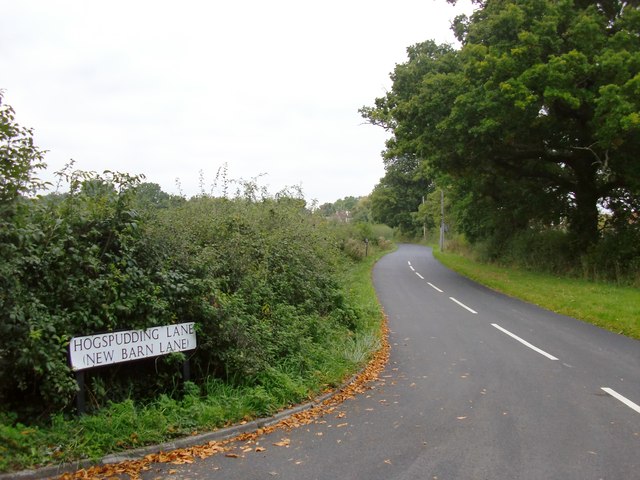
Image: © Stefan Czapski Taken: 7 Oct 2013
The name is a real classic - some other favourites of mine are Powder Monkey Lane (Upnor), Squeezeguts Alley (Truro) and Tinderbox Alley (Mortlake). I suspect that many of the most memorable English street names commemorate vanished pubs or inns - but whether that applies in this case, I can't say.
Images are licensed for reuse under creativecommons.org/licenses/by-sa/2.0
Image Location
Latitude
51.166691
Longitude
-0.28193