Farmland near Trevashmond
Introduction
The photograph on this page of Farmland near Trevashmond by Derek Harper as part of the Geograph project.
The Geograph project started in 2005 with the aim of publishing, organising and preserving representative images for every square kilometre of Great Britain, Ireland and the Isle of Man.

There are currently over 7.5m images from over 14,400 individuals and you can help contribute to the project by visiting https://www.geograph.org.uk
Farmland near Trevashmond
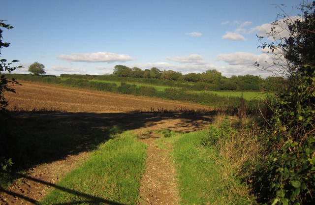
Image: © Derek Harper Taken: 10 Oct 2013
Looking past the left-hand of the two gates shown in Image] across the head of the valley of a small tributary of the Lynher.
Images are licensed for reuse under creativecommons.org/licenses/by-sa/2.0
Image Location
Latitude
50.437436
Longitude
-4.317968