The River Bann at Laurencetown (1)
Introduction
The photograph on this page of The River Bann at Laurencetown (1) by Albert Bridge as part of the Geograph project.
The Geograph project started in 2005 with the aim of publishing, organising and preserving representative images for every square kilometre of Great Britain, Ireland and the Isle of Man.

There are currently over 7.5m images from over 14,400 individuals and you can help contribute to the project by visiting https://www.geograph.org.uk
The River Bann at Laurencetown (1)
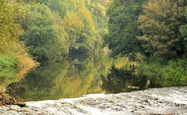
Image: © Albert Bridge Taken: 15 Oct 2013
The view upstream of the Bann, from the Point Road, as it approaches the weir behind the long-closed Hazelbank mill. The autumn colours are now starting to appear along the riverbank. There are two spellings – one with a “w” and one with a “u”. The official usage now seems to lean towards the former but I was brought up with the latter and intend to continue using it.
Images are licensed for reuse under creativecommons.org/licenses/by-sa/2.0
Image Location
Latitude
54.378746
Longitude
-6.306797