Jamaica Street
Introduction
The photograph on this page of Jamaica Street by Thomas Nugent as part of the Geograph project.
The Geograph project started in 2005 with the aim of publishing, organising and preserving representative images for every square kilometre of Great Britain, Ireland and the Isle of Man.

There are currently over 7.5m images from over 14,400 individuals and you can help contribute to the project by visiting https://www.geograph.org.uk
Jamaica Street
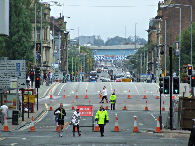
Image: © Thomas Nugent Taken: 6 Oct 2013
The road is all but closed to traffic, as is the Jamaica Bridge beyond, for the duration of the Great Scottish Run. The blue structure in the distance is the M74 Eglinton Street viaduct. Queens Park is on the horizon.
Images are licensed for reuse under creativecommons.org/licenses/by-sa/2.0
Image Location
Latitude
55.85718
Longitude
-4.257398