Sheep pasture, Eglwyswen
Introduction
The photograph on this page of Sheep pasture, Eglwyswen by Dylan Moore as part of the Geograph project.
The Geograph project started in 2005 with the aim of publishing, organising and preserving representative images for every square kilometre of Great Britain, Ireland and the Isle of Man.

There are currently over 7.5m images from over 14,400 individuals and you can help contribute to the project by visiting https://www.geograph.org.uk
Sheep pasture, Eglwyswen
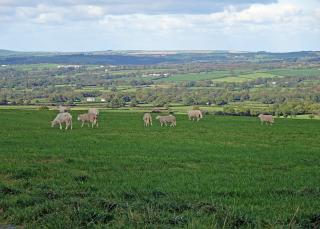
Image: © Dylan Moore Taken: 10 Oct 2013
The parish of Eglwyswen extends from the Preseli ridge to the River Nyfer beyond the church (just visible right of centre). This comparatively fertile vale is the bed of an extensive lake that formed during the post-glacial melt period.
Images are licensed for reuse under creativecommons.org/licenses/by-sa/2.0
Image Location
Latitude
51.973457
Longitude
-4.667642