The top of Coppice Hill
Introduction
The photograph on this page of The top of Coppice Hill by Humphrey Bolton as part of the Geograph project.
The Geograph project started in 2005 with the aim of publishing, organising and preserving representative images for every square kilometre of Great Britain, Ireland and the Isle of Man.

There are currently over 7.5m images from over 14,400 individuals and you can help contribute to the project by visiting https://www.geograph.org.uk
The top of Coppice Hill
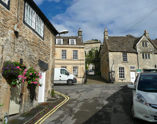
Image: © Humphrey Bolton Taken: 18 Sep 2013
The houses here are all listed Grade II, as are the gates to the former Wesleyan chapel up the driveway, of which only the front wall survives.
Images are licensed for reuse under creativecommons.org/licenses/by-sa/2.0
Image Location
Latitude
51.348532
Longitude
-2.250221