View south from the B6278
Introduction
The photograph on this page of View south from the B6278 by Robert Graham as part of the Geograph project.
The Geograph project started in 2005 with the aim of publishing, organising and preserving representative images for every square kilometre of Great Britain, Ireland and the Isle of Man.

There are currently over 7.5m images from over 14,400 individuals and you can help contribute to the project by visiting https://www.geograph.org.uk
View south from the B6278
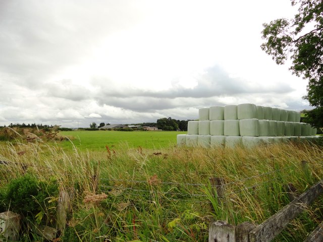
Image: © Robert Graham Taken: 21 Aug 2013
View from the road from Edmundbyers east of Derwent Bridge. Eddy's Bridge Farm in the centre, across the fields.
Images are licensed for reuse under creativecommons.org/licenses/by-sa/2.0
Image Location
Latitude
54.854232
Longitude
-1.940314