Huna Mission Hall
Introduction
The photograph on this page of Huna Mission Hall by Steven Brown as part of the Geograph project.
The Geograph project started in 2005 with the aim of publishing, organising and preserving representative images for every square kilometre of Great Britain, Ireland and the Isle of Man.

There are currently over 7.5m images from over 14,400 individuals and you can help contribute to the project by visiting https://www.geograph.org.uk
Huna Mission Hall
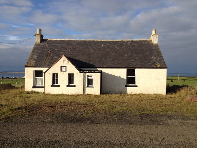
Image: © Steven Brown Taken: 11 Oct 2013
Built 1932. The low lying island of Stroma can just be seen to the left of the Mission Hall in the Pentland Firth; with the cliffs of Hoy in the distance beyond.
Images are licensed for reuse under creativecommons.org/licenses/by-sa/2.0
Image Location
Latitude
58.641801
Longitude
-3.098567