Alterations to Mulberry Cottage & its outbuildings
Introduction
The photograph on this page of Alterations to Mulberry Cottage & its outbuildings by John Baker as part of the Geograph project.
The Geograph project started in 2005 with the aim of publishing, organising and preserving representative images for every square kilometre of Great Britain, Ireland and the Isle of Man.

There are currently over 7.5m images from over 14,400 individuals and you can help contribute to the project by visiting https://www.geograph.org.uk
Alterations to Mulberry Cottage & its outbuildings
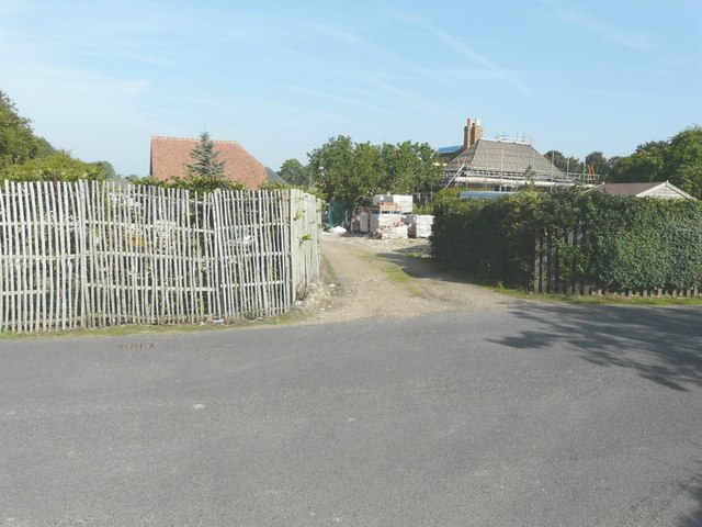
Image: © John Baker Taken: 24 Sep 2013
Seen from The Street. Planning permission has been granted by Canterbury City Council under application numbers: CA//11/01853: Two and single-storey extension to SE elevation, single-storey extension to provide garden room to NW elevation and single-storey extension to NE elevation. Demolition of existing outbuilding and erection of two detached outbuildings to provide a double garage studio and store and a gym. CA//11/00919: Two-storey extension and covered verandah (loggia) to SE elevation, single-storey extension to provide garden room to NW elevation and single-storey extension to NE elevation. Demolition of existing outbuildings and erection of two detached outbuildings to provide double garage studio and store and a gym. CA//13/00469: Retrospective application for works to Mulberry Cottage including the demolition of the existing stable block and its reconstruction, two-storey extension and single storey lean-to extension to SE elevation, single storey extension to garden room to NW elevation and single storey extension to NE elevation. Demolition of existing outbuildings and erection of two detached outbuildings linked by a glazed walkway, to provide a double garage/studio and store and a gym.
Images are licensed for reuse under creativecommons.org/licenses/by-sa/2.0
Image Location
Latitude
51.254433
Longitude
1.136924