Top dressing chips on Bridge Gate (Track)
Introduction
The photograph on this page of Top dressing chips on Bridge Gate (Track) by Chris as part of the Geograph project.
The Geograph project started in 2005 with the aim of publishing, organising and preserving representative images for every square kilometre of Great Britain, Ireland and the Isle of Man.

There are currently over 7.5m images from over 14,400 individuals and you can help contribute to the project by visiting https://www.geograph.org.uk
Top dressing chips on Bridge Gate (Track)
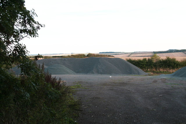
Image: © Chris Taken: 6 Oct 2013
Next to High Street. The track, designated as a bridleway, passes through them.
Images are licensed for reuse under creativecommons.org/licenses/by-sa/2.0
Image Location


Leaflet Map data © OpenStreetMap
Latitude
54.103322
Longitude
-0.480236