Cycle path by the A361
Introduction
The photograph on this page of Cycle path by the A361 by Derek Harper as part of the Geograph project.
The Geograph project started in 2005 with the aim of publishing, organising and preserving representative images for every square kilometre of Great Britain, Ireland and the Isle of Man.

There are currently over 7.5m images from over 14,400 individuals and you can help contribute to the project by visiting https://www.geograph.org.uk
Cycle path by the A361
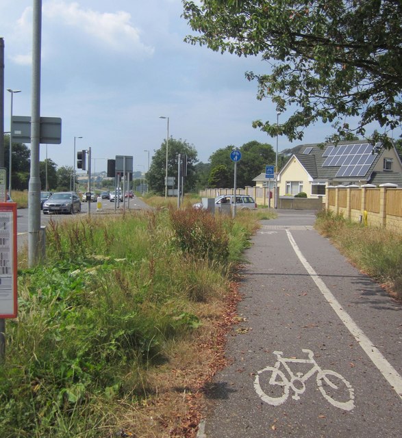
Image: © Derek Harper Taken: 18 Jul 2013
Taken beside the bus stop for the Pottington Business Park, with the junction with Chaddiford Lane just up ahead. On the left, traffic approaches along the dual carriageway from Braunton.
Images are licensed for reuse under creativecommons.org/licenses/by-sa/2.0
Image Location


Leaflet Map data © OpenStreetMap
Latitude
51.087116
Longitude
-4.076853