Bradiford Reserve
Introduction
The photograph on this page of Bradiford Reserve by Derek Harper as part of the Geograph project.
The Geograph project started in 2005 with the aim of publishing, organising and preserving representative images for every square kilometre of Great Britain, Ireland and the Isle of Man.

There are currently over 7.5m images from over 14,400 individuals and you can help contribute to the project by visiting https://www.geograph.org.uk
Bradiford Reserve
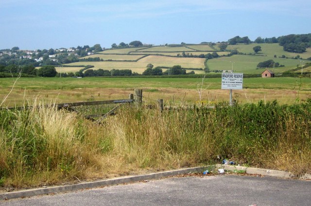
Image: © Derek Harper Taken: 18 Jul 2013
The end of the business park road shown in Image], with a nature reserve occupying the marshy meadows around Bradiford Water. See http://www.devonbirds.org/birdwatching/places_to_go/bradiford . The village to the left is Ashford, in Image
Images are licensed for reuse under creativecommons.org/licenses/by-sa/2.0
Image Location
Latitude
51.086424
Longitude
-4.08539