Riverside Road, Pottington Business Park
Introduction
The photograph on this page of Riverside Road, Pottington Business Park by Derek Harper as part of the Geograph project.
The Geograph project started in 2005 with the aim of publishing, organising and preserving representative images for every square kilometre of Great Britain, Ireland and the Isle of Man.

There are currently over 7.5m images from over 14,400 individuals and you can help contribute to the project by visiting https://www.geograph.org.uk
Riverside Road, Pottington Business Park
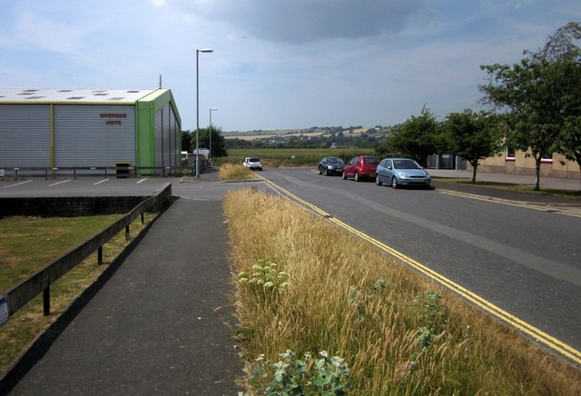
Image: © Derek Harper Taken: 18 Jul 2013
Well, I suppose the units on the left, southwest, side of the road, might get close to the riverside, the river being the Taw. Here the end of the road is almost reached with Riverside Units on the left. Beyond, marshy meadows (Bradiford Reserve) around Bradiford Water take over.
Images are licensed for reuse under creativecommons.org/licenses/by-sa/2.0
Image Location
Latitude
51.086252
Longitude
-4.084954