Path at the margin of High Ridge Wood
Introduction
The photograph on this page of Path at the margin of High Ridge Wood by Stefan Czapski as part of the Geograph project.
The Geograph project started in 2005 with the aim of publishing, organising and preserving representative images for every square kilometre of Great Britain, Ireland and the Isle of Man.

There are currently over 7.5m images from over 14,400 individuals and you can help contribute to the project by visiting https://www.geograph.org.uk
Path at the margin of High Ridge Wood
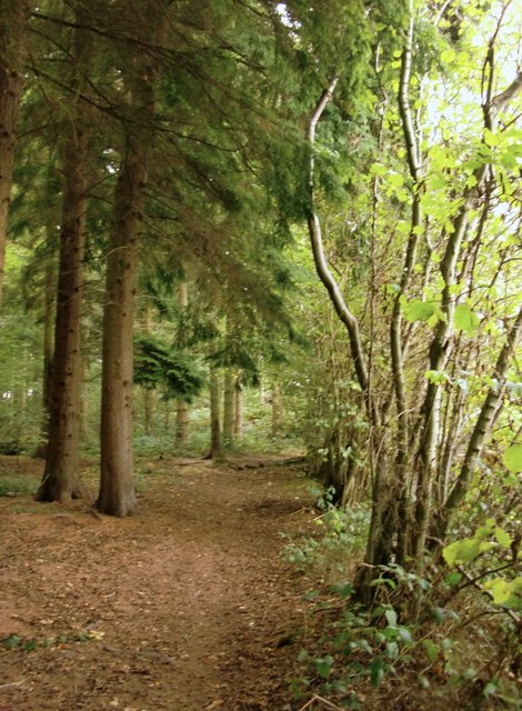
Image: © Stefan Czapski Taken: 7 Oct 2013
This south-east portion of High Ridge Wood is largely conifer plantation - screened from adjacent farmland by coppiced hazels.
Images are licensed for reuse under creativecommons.org/licenses/by-sa/2.0
Image Location
Latitude
51.211037
Longitude
-0.282714