Kirklington Road, Eakring
Introduction
The photograph on this page of Kirklington Road, Eakring by Peter Barr as part of the Geograph project.
The Geograph project started in 2005 with the aim of publishing, organising and preserving representative images for every square kilometre of Great Britain, Ireland and the Isle of Man.

There are currently over 7.5m images from over 14,400 individuals and you can help contribute to the project by visiting https://www.geograph.org.uk
Kirklington Road, Eakring
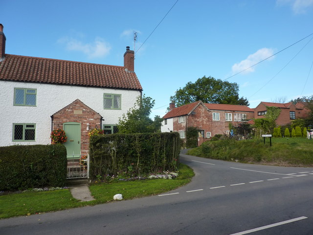
Image: © Peter Barr Taken: 8 Oct 2013
A small village between Southwell and Ollerton, famous for having a residential training centre of National Grid plc, producing oil up to the 1960s and having a vicar called Mompesson, who came from the Plague village of Eyam in Derbyshire.
Images are licensed for reuse under creativecommons.org/licenses/by-sa/2.0
Image Location
Latitude
53.149533
Longitude
-0.99352