The former Methodist Church, Patrixbourne Road
Introduction
The photograph on this page of The former Methodist Church, Patrixbourne Road by John Baker as part of the Geograph project.
The Geograph project started in 2005 with the aim of publishing, organising and preserving representative images for every square kilometre of Great Britain, Ireland and the Isle of Man.

There are currently over 7.5m images from over 14,400 individuals and you can help contribute to the project by visiting https://www.geograph.org.uk
The former Methodist Church, Patrixbourne Road
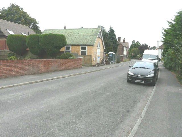
Image: © John Baker Taken: 22 Sep 2013
The church is the light-coloured building. Planning permission has been granted by Canterbury City Council under application number CA/12/01137 for the “change of use from place of worship (Use Class D1) to residential dwelling (Use Class C3), single storey extension and associated external alterations”. The spire has nothing to do with it - it is that of St Peter's church in Bridge Hill.
Images are licensed for reuse under creativecommons.org/licenses/by-sa/2.0
Image Location
Latitude
51.245157
Longitude
1.127264