Row of houses, Heywood Street, Bury
Introduction
The photograph on this page of Row of houses, Heywood Street, Bury by Jaggery as part of the Geograph project.
The Geograph project started in 2005 with the aim of publishing, organising and preserving representative images for every square kilometre of Great Britain, Ireland and the Isle of Man.

There are currently over 7.5m images from over 14,400 individuals and you can help contribute to the project by visiting https://www.geograph.org.uk
Row of houses, Heywood Street, Bury
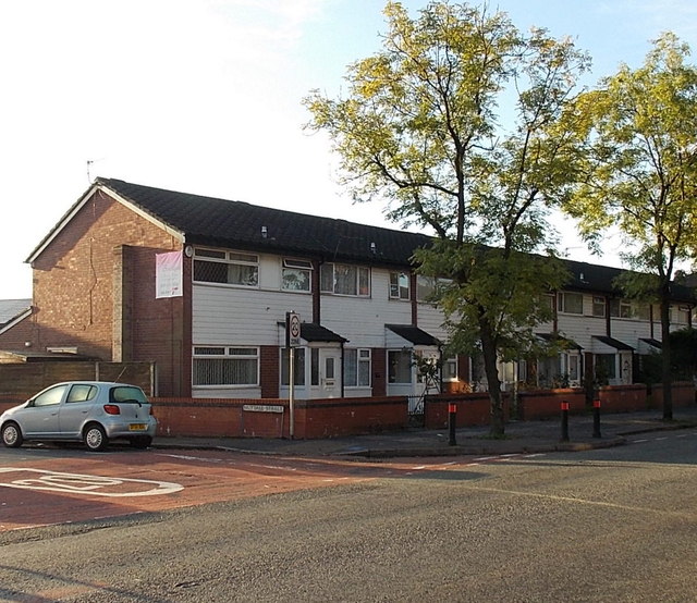
Image: © Jaggery Taken: 6 Oct 2013
The 40 metre long row of houses is between Nuttall Street on the left and Oxford Street out of shot on the right.
Images are licensed for reuse under creativecommons.org/licenses/by-sa/2.0
Image Location
Latitude
53.589835
Longitude
-2.287299