Wulfric Road, Manor
Introduction
The photograph on this page of Wulfric Road, Manor by Richard Vince as part of the Geograph project.
The Geograph project started in 2005 with the aim of publishing, organising and preserving representative images for every square kilometre of Great Britain, Ireland and the Isle of Man.

There are currently over 7.5m images from over 14,400 individuals and you can help contribute to the project by visiting https://www.geograph.org.uk
Wulfric Road, Manor
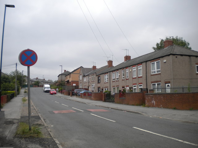
Image: © Richard Vince Taken: 10 Jul 2013
A residential road off City Road, a little way below Manor Top. The no stopping sign in the foreground has presumably been reversed. The housing in the right foreground has the narrow, deep windows characteristic of much Sheffield council housing.
Images are licensed for reuse under creativecommons.org/licenses/by-sa/2.0
Image Location
Latitude
53.364578
Longitude
-1.434031