Northern edge of Openshaw Park, Bury
Introduction
The photograph on this page of Northern edge of Openshaw Park, Bury by Jaggery as part of the Geograph project.
The Geograph project started in 2005 with the aim of publishing, organising and preserving representative images for every square kilometre of Great Britain, Ireland and the Isle of Man.

There are currently over 7.5m images from over 14,400 individuals and you can help contribute to the project by visiting https://www.geograph.org.uk
Northern edge of Openshaw Park, Bury
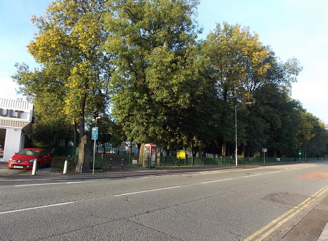
Image: © Jaggery Taken: 6 Oct 2013
Viewed across the A58 Rochdale Road. Openshaw Park is a public park covering an area of c5 hectares in the Pimhole area, about a mile east of Bury town centre. The park opened in 1888.
Images are licensed for reuse under creativecommons.org/licenses/by-sa/2.0
Image Location
Latitude
53.592458
Longitude
-2.280216