Arable land near Kennox
Introduction
The photograph on this page of Arable land near Kennox by Richard Webb as part of the Geograph project.
The Geograph project started in 2005 with the aim of publishing, organising and preserving representative images for every square kilometre of Great Britain, Ireland and the Isle of Man.

There are currently over 7.5m images from over 14,400 individuals and you can help contribute to the project by visiting https://www.geograph.org.uk
Arable land near Kennox
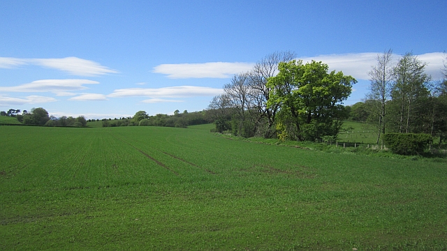
Image: © Richard Webb Taken: 21 May 2013
Beside the Glazert Burn. Most of the ground around here is under pasture.
Images are licensed for reuse under creativecommons.org/licenses/by-sa/2.0
Image Location
Latitude
55.667864
Longitude
-4.569937