Etchinghill
Introduction
The photograph on this page of Etchinghill by David Kemp as part of the Geograph project.
The Geograph project started in 2005 with the aim of publishing, organising and preserving representative images for every square kilometre of Great Britain, Ireland and the Isle of Man.

There are currently over 7.5m images from over 14,400 individuals and you can help contribute to the project by visiting https://www.geograph.org.uk
Etchinghill
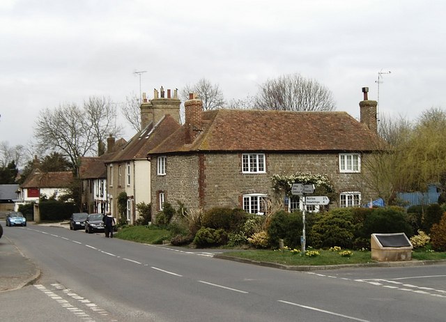
Image: © David Kemp Taken: 17 Mar 2007
Etchinghill has expanded with infill development in recent years but it is still a small place. Although the railway from Canterbury to Folkestone once passed through the village (a short distance along the lane on the right), it was never regarded as large enough to justify the opening of a station.
Images are licensed for reuse under creativecommons.org/licenses/by-sa/2.0
Image Location
Latitude
51.113802
Longitude
1.09466