Easter Tofts Railway Bridge
Introduction
The photograph on this page of Easter Tofts Railway Bridge by Rude Health as part of the Geograph project.
The Geograph project started in 2005 with the aim of publishing, organising and preserving representative images for every square kilometre of Great Britain, Ireland and the Isle of Man.

There are currently over 7.5m images from over 14,400 individuals and you can help contribute to the project by visiting https://www.geograph.org.uk
Easter Tofts Railway Bridge
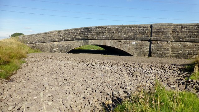
Image: © Rude Health Taken: 29 Sep 2013
This bridge takes cars over the former railway between Lanark and Peniel Junction on a minor road SW of Douglas Water. It used to flood a lot around the bridge due to disused coal mine workings. So now extra stone fills the void. There is a rivet and cut bench mark on the western tower of the bridge.
Images are licensed for reuse under creativecommons.org/licenses/by-sa/2.0
Image Location
Latitude
55.598125
Longitude
-3.809642