Signpost near Upper Gatton
Introduction
The photograph on this page of Signpost near Upper Gatton by Stephen Craven as part of the Geograph project.
The Geograph project started in 2005 with the aim of publishing, organising and preserving representative images for every square kilometre of Great Britain, Ireland and the Isle of Man.

There are currently over 7.5m images from over 14,400 individuals and you can help contribute to the project by visiting https://www.geograph.org.uk
Signpost near Upper Gatton
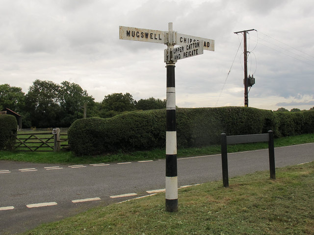
Image: © Stephen Craven Taken: 5 Oct 2013
The signpost at the corner of Fair Lane and Rectory Road points to Mugswell, Chipstead, Upper Gatton and Reigate. Only the last of these is a town of any size. For context, see Image
Images are licensed for reuse under creativecommons.org/licenses/by-sa/2.0
Image Location
Latitude
51.278509
Longitude
-0.189008