To Craven Arms and Clun - Bishop's Castle, Shropshire
Introduction
The photograph on this page of To Craven Arms and Clun - Bishop's Castle, Shropshire by Martin Richard Phelan as part of the Geograph project.
The Geograph project started in 2005 with the aim of publishing, organising and preserving representative images for every square kilometre of Great Britain, Ireland and the Isle of Man.

There are currently over 7.5m images from over 14,400 individuals and you can help contribute to the project by visiting https://www.geograph.org.uk
To Craven Arms and Clun - Bishop's Castle, Shropshire
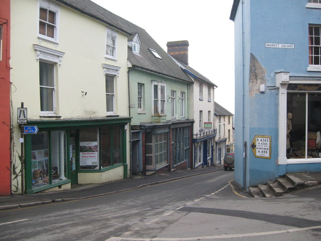
Image: © Martin Richard Phelan Taken: 10 Apr 2013
The old style sign still points the now superseded way. From 1865 - 1935 there was a Bishop's Castle Railway but it was never a great success, spending much of its time in the hands of administrators. Bishop's Castle was one of the so-called Rotten Boroughs. A Rotten Borough was a borough where, prior to the Reform Act 1832, there were very few voters and one person or family could exert undue influence over the election of an MP (Member of Parliament). Signage in this photo - on left 'ROAD NARROWS' and 'NATIONAL CYCLE NETWORK route 44'. Middle of photo above doorway 'HIGH ST'. Right of photo 'MARKET SQUARE' and below 'B4385 (B4368) CRAVEN ARMS - A488 CLUN'. Time taken 12.31 pm BST (British Summer Time).
Images are licensed for reuse under creativecommons.org/licenses/by-sa/2.0
Image Location
Latitude
52.494244
Longitude
-2.997997