Heathfield Road, Denbury
Introduction
The photograph on this page of Heathfield Road, Denbury by Derek Harper as part of the Geograph project.
The Geograph project started in 2005 with the aim of publishing, organising and preserving representative images for every square kilometre of Great Britain, Ireland and the Isle of Man.

There are currently over 7.5m images from over 14,400 individuals and you can help contribute to the project by visiting https://www.geograph.org.uk
Heathfield Road, Denbury
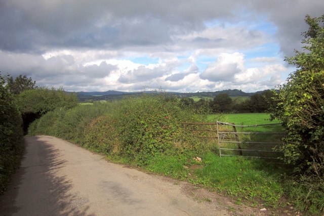
Image: © Derek Harper Taken: 5 Oct 2013
The lane to Wotton Cross passes the gate of a cattle pasture during a steady descent to a tributary of Barham's Brook. On the horizon is Haytor.
Images are licensed for reuse under creativecommons.org/licenses/by-sa/2.0
Image Location
Latitude
50.509123
Longitude
-3.666483