Stone circle, Aviemore
Introduction
The photograph on this page of Stone circle, Aviemore by Jim Barton as part of the Geograph project.
The Geograph project started in 2005 with the aim of publishing, organising and preserving representative images for every square kilometre of Great Britain, Ireland and the Isle of Man.

There are currently over 7.5m images from over 14,400 individuals and you can help contribute to the project by visiting https://www.geograph.org.uk
Stone circle, Aviemore
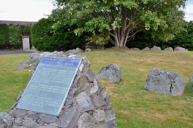
Image: © Jim Barton Taken: 7 Sep 2013
An unexpected structure in the built-up area of Aviemore, just behind the fire station. The structure is probably 4000 years old and a closer view of the information plaque is shown in Image
Images are licensed for reuse under creativecommons.org/licenses/by-sa/2.0
Image Location
Latitude
57.19869
Longitude
-3.827649