A358 in Musbury
Introduction
The photograph on this page of A358 in Musbury by David Smith as part of the Geograph project.
The Geograph project started in 2005 with the aim of publishing, organising and preserving representative images for every square kilometre of Great Britain, Ireland and the Isle of Man.

There are currently over 7.5m images from over 14,400 individuals and you can help contribute to the project by visiting https://www.geograph.org.uk
A358 in Musbury
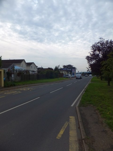
Image: © David Smith Taken: 27 Sep 2013
Many of the village houses are clustered around the roads to the east of the main road; the bus serves the main road with stops and shelters on each side of the A358.
Images are licensed for reuse under creativecommons.org/licenses/by-sa/2.0
Image Location
Latitude
50.747327
Longitude
-3.032529