Hop Fields at Wagstaff Farm, Wagstaff Lane, Biddenden
Introduction
The photograph on this page of Hop Fields at Wagstaff Farm, Wagstaff Lane, Biddenden by Oast House Archive as part of the Geograph project.
The Geograph project started in 2005 with the aim of publishing, organising and preserving representative images for every square kilometre of Great Britain, Ireland and the Isle of Man.

There are currently over 7.5m images from over 14,400 individuals and you can help contribute to the project by visiting https://www.geograph.org.uk
Hop Fields at Wagstaff Farm, Wagstaff Lane, Biddenden
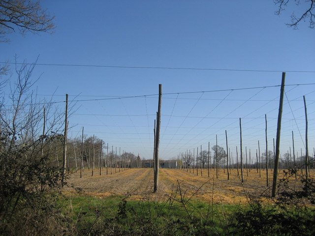
Image: © Oast House Archive Taken: 14 Mar 2007
It is not clear if this hop garden is still in use. The strings would begin to be strung around this time of year.
Images are licensed for reuse under creativecommons.org/licenses/by-sa/2.0
Image Location
Latitude
51.121504
Longitude
0.677135