Farmhouse at Paradise Farm
Introduction
The photograph on this page of Farmhouse at Paradise Farm by Robert Graham as part of the Geograph project.
The Geograph project started in 2005 with the aim of publishing, organising and preserving representative images for every square kilometre of Great Britain, Ireland and the Isle of Man.

There are currently over 7.5m images from over 14,400 individuals and you can help contribute to the project by visiting https://www.geograph.org.uk
Farmhouse at Paradise Farm
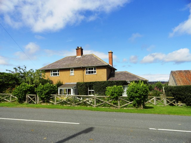
Image: © Robert Graham Taken: 21 Aug 2013
This farm is beside the Blanchland to Edmundbyers road a little east of Ruffside. I would guess it's early 20th century from the style, certainly it doesn't appear on the 1863 Ordnance Survey map.
Images are licensed for reuse under creativecommons.org/licenses/by-sa/2.0
Image Location
Latitude
54.863593
Longitude
-2.002306