Carpark on A4067 for Cwmtawe Cycleway
Introduction
The photograph on this page of Carpark on A4067 for Cwmtawe Cycleway by Nigel Davies as part of the Geograph project.
The Geograph project started in 2005 with the aim of publishing, organising and preserving representative images for every square kilometre of Great Britain, Ireland and the Isle of Man.

There are currently over 7.5m images from over 14,400 individuals and you can help contribute to the project by visiting https://www.geograph.org.uk
Carpark on A4067 for Cwmtawe Cycleway
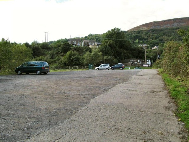
Image: © Nigel Davies Taken: 29 Sep 2013
This free gravel carpark is situated between the main valley road through Cwmtawe at Godre'r Graig and the Tawe river. The lane into the carpark turns into a bridge over the river and then joins the Cwmtawe Cycleway, which is part of National Cycle Route 43.
Images are licensed for reuse under creativecommons.org/licenses/by-sa/2.0
Image Location
Latitude
51.743374
Longitude
-3.807554