National Cycle Route, Bedwellty Pits
Introduction
The photograph on this page of National Cycle Route, Bedwellty Pits by Robin Drayton as part of the Geograph project.
The Geograph project started in 2005 with the aim of publishing, organising and preserving representative images for every square kilometre of Great Britain, Ireland and the Isle of Man.

There are currently over 7.5m images from over 14,400 individuals and you can help contribute to the project by visiting https://www.geograph.org.uk
National Cycle Route, Bedwellty Pits
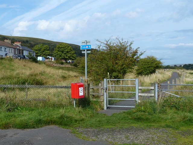
Image: © Robin Drayton Taken: 27 Sep 2013
This is National Cycle Route 467 which follows the route northwards of the London & North Western Railway (LNWR) railway up to Tredegar.
Images are licensed for reuse under creativecommons.org/licenses/by-sa/2.0
Image Location
Latitude
51.747937
Longitude
-3.223802