Pant Hill
Introduction
The photograph on this page of Pant Hill by Jonathan Billinger as part of the Geograph project.
The Geograph project started in 2005 with the aim of publishing, organising and preserving representative images for every square kilometre of Great Britain, Ireland and the Isle of Man.

There are currently over 7.5m images from over 14,400 individuals and you can help contribute to the project by visiting https://www.geograph.org.uk
Pant Hill
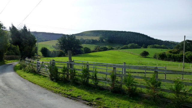
Image: © Jonathan Billinger Taken: 27 Sep 2013
418m outlier of the Cambrian Mountains viewed from near White Hopton.
Images are licensed for reuse under creativecommons.org/licenses/by-sa/2.0
Image Location
Latitude
52.510125
Longitude
-3.140695