The green at Ruffside
Introduction
The photograph on this page of The green at Ruffside by Robert Graham as part of the Geograph project.
The Geograph project started in 2005 with the aim of publishing, organising and preserving representative images for every square kilometre of Great Britain, Ireland and the Isle of Man.

There are currently over 7.5m images from over 14,400 individuals and you can help contribute to the project by visiting https://www.geograph.org.uk
The green at Ruffside
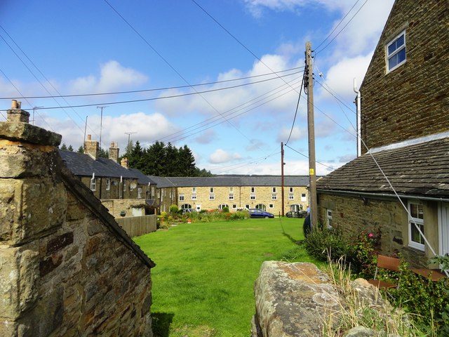
Image: © Robert Graham Taken: 21 Aug 2013
Most of the houses in this hamlet are built around a village green. It was built for workers for the nearby Ruffside Hall estate. Dates from the early to mid 19th century and appears on the first Ordnance Survey map of 1863, where, interestingly, it is spelt "Roughside".
Images are licensed for reuse under creativecommons.org/licenses/by-sa/2.0
Image Location
Latitude
54.858739
Longitude
-2.014923