Footpath under Railway
Introduction
The photograph on this page of Footpath under Railway by Snidge as part of the Geograph project.
The Geograph project started in 2005 with the aim of publishing, organising and preserving representative images for every square kilometre of Great Britain, Ireland and the Isle of Man.

There are currently over 7.5m images from over 14,400 individuals and you can help contribute to the project by visiting https://www.geograph.org.uk
Footpath under Railway
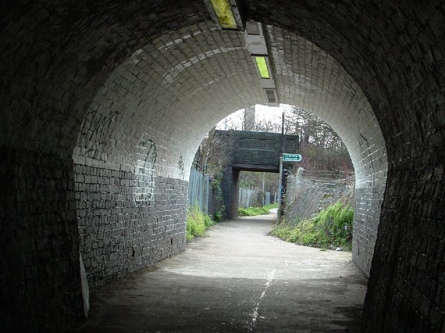
Image: © Snidge Taken: 10 Mar 2007
View out of the Footpath under the Railway where Cotleigh Road joins Stockland Road, Romford, walking toward Nursery Walk
Images are licensed for reuse under creativecommons.org/licenses/by-sa/2.0
Image Location


Leaflet Map data © OpenStreetMap
Latitude
51.572146
Longitude
0.174609