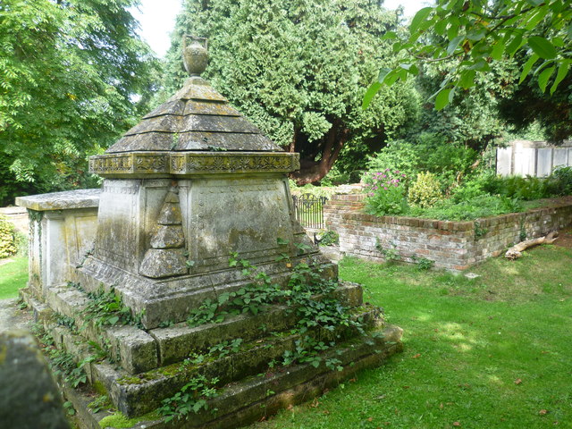
St Mary's Churchyard, Long Ditton and The Garden of Rest
Introduction
The photograph on this page of St Mary's Churchyard, Long Ditton and The Garden of Rest by Marathon as part of the Geograph project.
The Geograph project started in 2005 with the aim of publishing, organising and preserving representative images for every square kilometre of Great Britain, Ireland and the Isle of Man.
There are currently over 7.5m images from over 14,400 individuals and you can help contribute to the project by visiting https://www.geograph.org.uk

Image: © Marathon Taken: 25 Sep 2013
A church has stood on this hill since Saxon times. The Manor and church are included in the Domesday Book of 1086 and the earliest record of a Rector is Robert Picot appointed in 1166. The present St Mary's Church was built between 1878 and 1880 and replaced one built in 1776 in the form of a Greek cross. The floor and part of the walls of this earlier church survive in the churchyard and are now laid out as the Garden of Rest, which is also the site of the churches before the one of 1776. This view looks towards The Garden of Rest which is on the right here. As this is where the church was found up to 1880, the grandest tombs which date from before 1880 are to be found here rather than near the new church.

