High Blaithwaite: track of old Maryport & Carlisle Mealsgate loop railway
Introduction
The photograph on this page of High Blaithwaite: track of old Maryport & Carlisle Mealsgate loop railway by Ben Brooksbank as part of the Geograph project.
The Geograph project started in 2005 with the aim of publishing, organising and preserving representative images for every square kilometre of Great Britain, Ireland and the Isle of Man.

There are currently over 7.5m images from over 14,400 individuals and you can help contribute to the project by visiting https://www.geograph.org.uk
High Blaithwaite: track of old Maryport & Carlisle Mealsgate loop railway
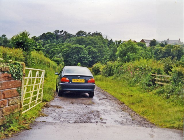
Image: © Ben Brooksbank Taken: 29 Jun 1998
View SW, towards Aspatria. The line had been closed as far as Mealsgate since 1/8/21(!), Mealsgate - Aspatria since 1/12/52 (passenger service ceased 22/9/30).
Images are licensed for reuse under creativecommons.org/licenses/by-sa/2.0
Image Location
Latitude
54.787405
Longitude
-3.206842