UFO Trail information board
Introduction
The photograph on this page of UFO Trail information board by Mark Percy as part of the Geograph project.
The Geograph project started in 2005 with the aim of publishing, organising and preserving representative images for every square kilometre of Great Britain, Ireland and the Isle of Man.

There are currently over 7.5m images from over 14,400 individuals and you can help contribute to the project by visiting https://www.geograph.org.uk
UFO Trail information board
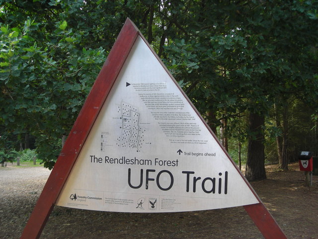
Image: © Mark Percy Taken: 6 Sep 2013
This information board in the main car park marks the start of the UFO Trail. The waymarked three-mile walk leads visitors around the scene of reported UFO sightings in December 1980.
Images are licensed for reuse under creativecommons.org/licenses/by-sa/2.0
Image Location
Latitude
52.08408
Longitude
1.433147