Thames Path downriver of Maidenhead Railway Bridge
Introduction
The photograph on this page of Thames Path downriver of Maidenhead Railway Bridge by Marathon as part of the Geograph project.
The Geograph project started in 2005 with the aim of publishing, organising and preserving representative images for every square kilometre of Great Britain, Ireland and the Isle of Man.

There are currently over 7.5m images from over 14,400 individuals and you can help contribute to the project by visiting https://www.geograph.org.uk
Thames Path downriver of Maidenhead Railway Bridge
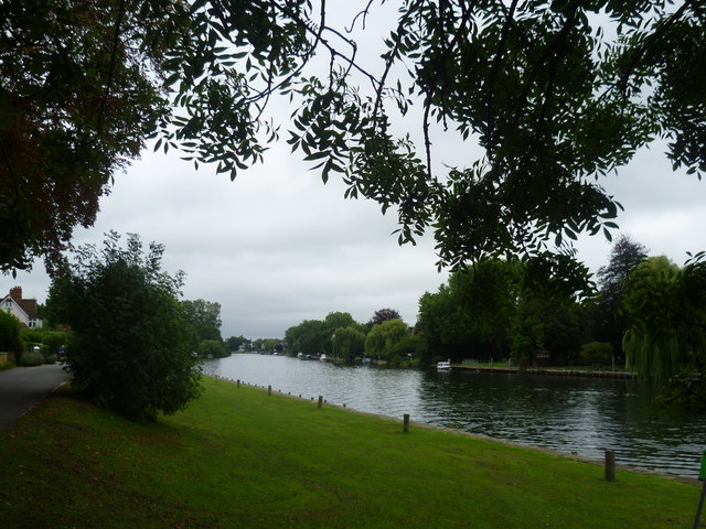
Image: © Marathon Taken: 22 Sep 2013
This is the Thames Path just downriver from Maidenhead Railway Bridge. Here it is following River Road on the left.
Images are licensed for reuse under creativecommons.org/licenses/by-sa/2.0
Image Location
Latitude
51.518033
Longitude
-0.701708