Horsington Manor
Introduction
The photograph on this page of Horsington Manor by Derek Harper as part of the Geograph project.
The Geograph project started in 2005 with the aim of publishing, organising and preserving representative images for every square kilometre of Great Britain, Ireland and the Isle of Man.

There are currently over 7.5m images from over 14,400 individuals and you can help contribute to the project by visiting https://www.geograph.org.uk
Horsington Manor
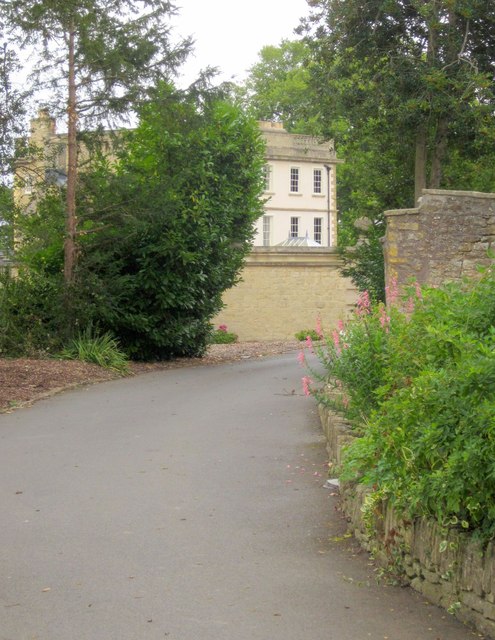
Image: © Derek Harper Taken: 14 Sep 2013
The merest glimpse of the C18 house http://list.english-heritage.org.uk/resultsingle.aspx?uid=1238067&searchtype=mapsearch from Lower Road past the West Lodge. "Built between 1753 and 1770 by the Spencer family - Parson Woodforde visiting it on 4 July 1770 said 'Mr Spencer has a noble house and everything in the neatest manner'".
Images are licensed for reuse under creativecommons.org/licenses/by-sa/2.0
Image Location
Latitude
51.013882
Longitude
-2.425748