Three Shire Bridleway at Yelden
Introduction
The photograph on this page of Three Shire Bridleway at Yelden by Nigel Stickells as part of the Geograph project.
The Geograph project started in 2005 with the aim of publishing, organising and preserving representative images for every square kilometre of Great Britain, Ireland and the Isle of Man.

There are currently over 7.5m images from over 14,400 individuals and you can help contribute to the project by visiting https://www.geograph.org.uk
Three Shire Bridleway at Yelden
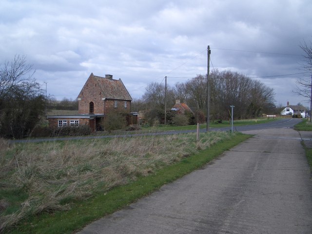
Image: © Nigel Stickells Taken: 7 Mar 2007
The camera is positioned on the farm road from Rifle Range Farm (behind) that also carries the long distance Three Shire Bridleway at this point. The bridleway continues northwards from here where it joins the High Street through Yelden village before striking across country again.
Images are licensed for reuse under creativecommons.org/licenses/by-sa/2.0
Image Location
Latitude
52.287435
Longitude
-0.519089