Stepney Street, Cwmbwrla, Swansea
Introduction
The photograph on this page of Stepney Street, Cwmbwrla, Swansea by Jaggery as part of the Geograph project.
The Geograph project started in 2005 with the aim of publishing, organising and preserving representative images for every square kilometre of Great Britain, Ireland and the Isle of Man.

There are currently over 7.5m images from over 14,400 individuals and you can help contribute to the project by visiting https://www.geograph.org.uk
Stepney Street, Cwmbwrla, Swansea
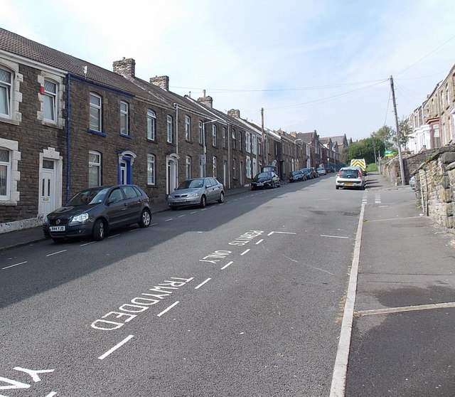
Image: © Jaggery Taken: 25 Sep 2013
Viewed from the edge of St Luke the Evangelist church http://www.geograph.org.uk/photo/3670928 looking towards the former Cwmbwrla Primary School. Burlais Primary School, which opened in September 2012, was created following the closure and amalgamation of Cwmbwrla Primary School and Manselton Primary School.
Images are licensed for reuse under creativecommons.org/licenses/by-sa/2.0
Image Location
Latitude
51.636414
Longitude
-3.956045