Chilbolton Avenue near Links Road
Introduction
The photograph on this page of Chilbolton Avenue near Links Road by John Firth as part of the Geograph project.
The Geograph project started in 2005 with the aim of publishing, organising and preserving representative images for every square kilometre of Great Britain, Ireland and the Isle of Man.

There are currently over 7.5m images from over 14,400 individuals and you can help contribute to the project by visiting https://www.geograph.org.uk
Chilbolton Avenue near Links Road
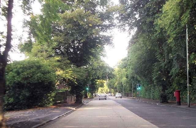
Image: © John Firth Taken: 20 Sep 2013
Light controlled crossing is for adjacent school
Images are licensed for reuse under creativecommons.org/licenses/by-sa/2.0
Image Location
Latitude
51.067984
Longitude
-1.335602