Front Street, Witton Gilbert
Introduction
The photograph on this page of Front Street, Witton Gilbert by Stanley Howe as part of the Geograph project.
The Geograph project started in 2005 with the aim of publishing, organising and preserving representative images for every square kilometre of Great Britain, Ireland and the Isle of Man.

There are currently over 7.5m images from over 14,400 individuals and you can help contribute to the project by visiting https://www.geograph.org.uk
Front Street, Witton Gilbert
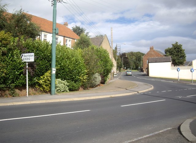
Image: © Stanley Howe Taken: 21 Sep 2013
B6312 bears left to Sacriston, past a Place of Worship (stone building in centre).
Images are licensed for reuse under creativecommons.org/licenses/by-sa/2.0
Image Location
Latitude
54.805637
Longitude
-1.640287